24 MARTHA KENDRICK DR
Owner Information
KEENAN STEVEN E & JACQUELINE A T/E
24 MARTHA KENDRICK DR
CHATHAM, MA 02633


Property Details
24 MARTHA KENDRICK DR is classified as a Single Family Residential (Cape).
The primary structure on this property was built in 1983. There are 1,890ft2 of built area within this property. There is 1,890ft2 of residential/living space within this property.
24 MARTHA KENDRICK DR is valued at $601,500. The land is valued at $292,600 and the structures are valued at $286,800. There is an additional valuation of $22,100 on this property.
This property is in Zone R40. Confirm with local Zoning Board authorities to ensure there are no overlays or other easements on this property.
The most recent deed for 24 MARTHA KENDRICK DR is recorded at the local registrar in Book 19137, Page 39. 24 MARTHA KENDRICK DR was last sold on Friday, October 15, 2004 for $620,000.
Assessment data from fiscal year 2018.
Flood Data
According to the FEMA National Flood Hazard Layer, this property does not appear to be in a flood zone. It may also be in an area not yet reviewed. Nonetheless, confirm this information prior to taking any action.
To view the flood hazards around this property, create a FEMA "Firmette" Map of the area around 24 MARTHA KENDRICK DR.
Broadband Internet Providers
| Provider | Type | Bandwidth (mbps) | |
|---|---|---|---|
| Comcast | Cable | 1000 | 35 |
| T-Mobile | Fixed Wireless | 25 | 3 |
| Viasat Inc | Satellite | 35 | 3 |
| GCI Communication Corp. | Satellite | 0 | 0 |
| Verizon New England Inc. | DSL | 10 | 1 |
| VSAT Systems, LLC. | Satellite | 2 | 1 |
| HughesNet | Satellite | 25 | 3 |
Broadband service provider data from December 2020.
Adjacent Properties
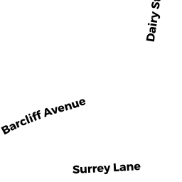
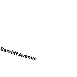
- 306 BARCLIFF AVE
Single Family Residential owned by LEACH ELIZABETH ANN - 50 MARTHA KENDRICK DR
Mixed Use (Primarily Residential, some Commercial) owned by PETER W MCINTIRE RT 1/2 - 0 MARTHA KENDRICK DR
Developable Residential Land owned by MCINTIRE PETER W & MARCIA E - 288 BARCLIFF AVE
Single Family Residential owned by MCINTIRE DAVID R & MARGARET M T/E